Cart
0
Product
Products
(empty)
No products
To be determined
Shipping
0,00 Руб.
Total
Product successfully added to your shopping cart
Quantity
Total
There are 0 items in your cart. There is 1 item in your cart.
Total products
Total shipping
To be determined
Total


Range of Postcards

Range of Stamps
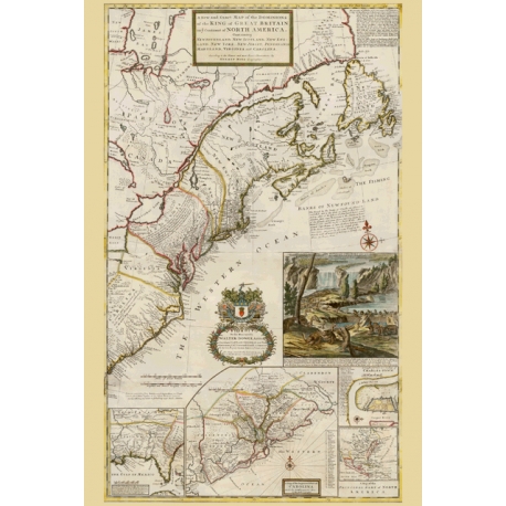
Map of the King of Great Britain on ye Continent of North America. Map Maker - Herman Moll, 1731.
This product is no longer in stock
Data sheet
| Size | 100х150 mm |
| Material | cardboard 270 g/m2 |
| Coating | oil varnish |
| Printing method | Offset printing |
| Back side | b/w form to fill messages |
More info
Moll's map was the first and one of the most important illustrations of the ongoing dispute between France and Great Britain over boundaries separating their respective American colonies. All territory south of the St. Lawrence River and eastern Great Lakes is shown as British. Numerous notations relating to territorial claims, Indian tribes, the fur trade, and the condition of the land cover the face of the map. This map shows the early eighteenth century postal routes in the British colonies, and is frequently called the first American postal map.
Waiting from postcrossing.com ...


